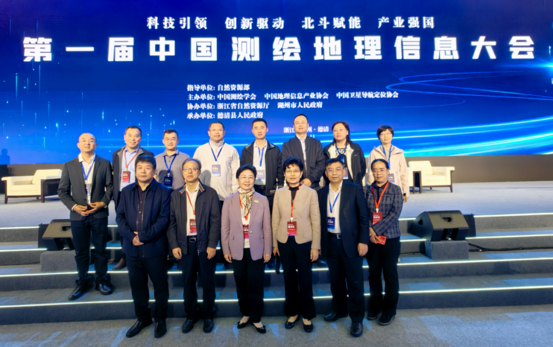
From November 8 to 10, the first China Surveying and Mapping Geographic Information Congress, which explored the theme “Sci-Tech and Innovation, Beidou Empowerment, and Industry Powering the Nation,” took place in Deqing, Zhejiang Province. This conference is guided by the Ministry of Natural Resources and co-hosted by the Chinese Society for Geodesy Photogrammetry and Cartography, the Chinese Association for Geographic Information Society, and the GNSS & LBS Association of China. Wang Guanghua, Party Secretary of the Party Leadership Group of the Ministry of Natural Resources and Minister of Natural Resources, Liu Guohong, Vice Minister of Natural Resources, and Yang Qingjiu, Vice Governor of Zhejiang Province, attended the conference. Song Chaozhi, President of the Chinese Society for Geodesy Photogrammetry and Cartography, delivered a speech at the opening ceremony. Fifteen Academicians and nearly 10,000 industry experts and enterprise delegates, who work in areas including geodesy photogrammetry, cartography, and geographic information, participated in the congress.
During the event, presentations and exchanges took place on the sci-tech innovation and industrial development of geographic information and applications of the Beidou Navigation Satellite System. The exchanges yielded positive results for the quality development of this field. Attendees also include Tao Zhihong, Level-II Counsel of the Beijing Municipal Commission of Planning and Natural Resources, Liu Hong, Party Secretary of the Party Leadership Group of the Beijing Institute of Surveying and Mapping, and colleagues from relevant divisions and offices of the Beijing Municipal Commission of Planning and Natural Resources and the Beijing Institute of Surveying and Mapping.
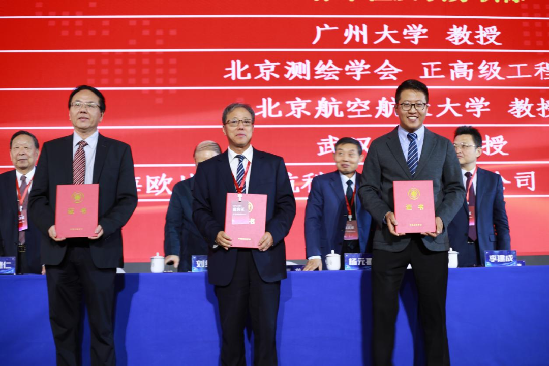
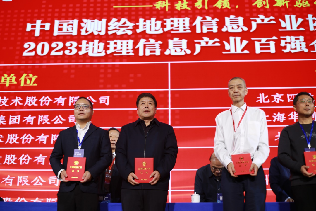
The event featured a main forum, sharing sessions on sci-tech and industrial development, 37 sub-forums, and the Evening Exchange Session on Surveying, Mapping, and Geographic Information Empowered by the Beidou Navigation Satellite System. At the opening ceremony, honors including the 22nd Xia Jianbai Award for Sci-Tech Progress and Innovation in Surveying and Mapping, the 2023 National Survey and Mapping Science and Technology Award, the Geographic Information Science and Technology Award, and the Science and Technology Award in Satellite Navigation and Positioning, were awarded. Honors including Scholars of the Chinese Society for Geodesy Photogrammetry and Cartography and Craftspeople in Engineering Surveying were awarded to outstanding individuals. Publications including the 2023 Report of Sci-Tech Innovation and Industrial Development in Surveying, Mapping, and Geographic Information in China, the 2023 Report of Industrial Development of Geographic Information in China, and the Development Index Report of Beidou Navigation Satellite in China were released during the event.
The Beijing Institute of Surveying and Mapping won over 20 awards at this event, including First Place for Sci-Tech Progress in Geographic Information (two prizes for this award), Gold Award for Outstanding Engineering in Surveying and Mapping, Gold Award for Outstanding Engineering in Geographic Information (four prizes for this award), and Gold Award for Innovative Applications of Satellite Navigation and Positioning.
Yang Bogang, the former President of the Beijing Institute of Surveying and Mapping and a National Design Master of Engineering Surveying, was honored with the title of Scholar by the Chinese Society for Geodesy Photogrammetry and Cartography. Wu Jun, Deputy President of the Beijing Institute of Surveying and Mapping, received the accolade of Craftsman in Engineering Surveying.
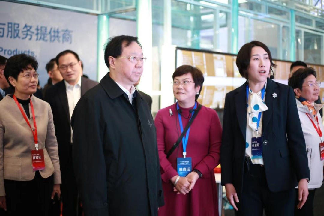
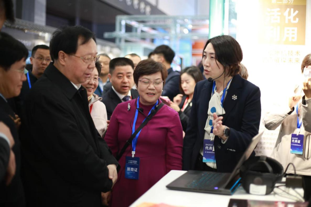
During the conference, the first China Surveying and Mapping Geographic Information Technology Expo and BeiDou Application Expo were concurrently held. The exhibition zones specialized in various fields, including surveying equipment, geographic information, and applications and location services of BeiDou Navigation Satellite. The Beijing Municipal Institute of Surveying and Mapping participated in various joint exhibitions, including an exhibition on the protection of cultural heritage, the exhibition of work by urban institutes of surveying and mapping in different cities, and the China Map Culture Industry Alliance. On November 10th, Comrade Wang Guanghua and others visited the joint exhibition on cultural heritage protection, engaging in in-depth exchanges with on-site personnel. This exhibition showcased the institute’s application of new surveying technologies, including real three-dimensional (3D) technology, to support projects like the Central Axis Heritage Monitoring Platform and the excavation of the Tianqiao Excavation Site. It demonstrated the crucial role of digital technology in preserving cultural heritage along the Central Axis of Beijing.
Considered a strategic emerging industry, the geographic information sector is entering a phase of high-quality development. During the conference, experts, scholars, and industry entrepreneurs shared insights into key technologies and innovative applications, and analyzed future trends in the geographic information industry. They also delved into the current status of industry development and examined potential future demands.

The present era is witnessing a golden period of development in the digital economy, characterized by diverse demands for geographic information. The future outlook for the geographic information industry is promising. As contributors to the planning and natural resources of the capital, our goal is to establish a unified spatiotemporal data repository, provide robust data support, and create a conducive environment for the growth of the geographic information industry in the capital. We are dedicated to accelerating the transformation and upgrading of the geographic information industry in the capital, in alignment with our responsibilities and high-level planning. This effort is designed to comprehensively support Beijing in becoming a benchmark city for the global digital economy.